Radar detection
Continuously output target ID, speed, coordinates and travel direction.
TRAFFIC SAFETY APPLICATION
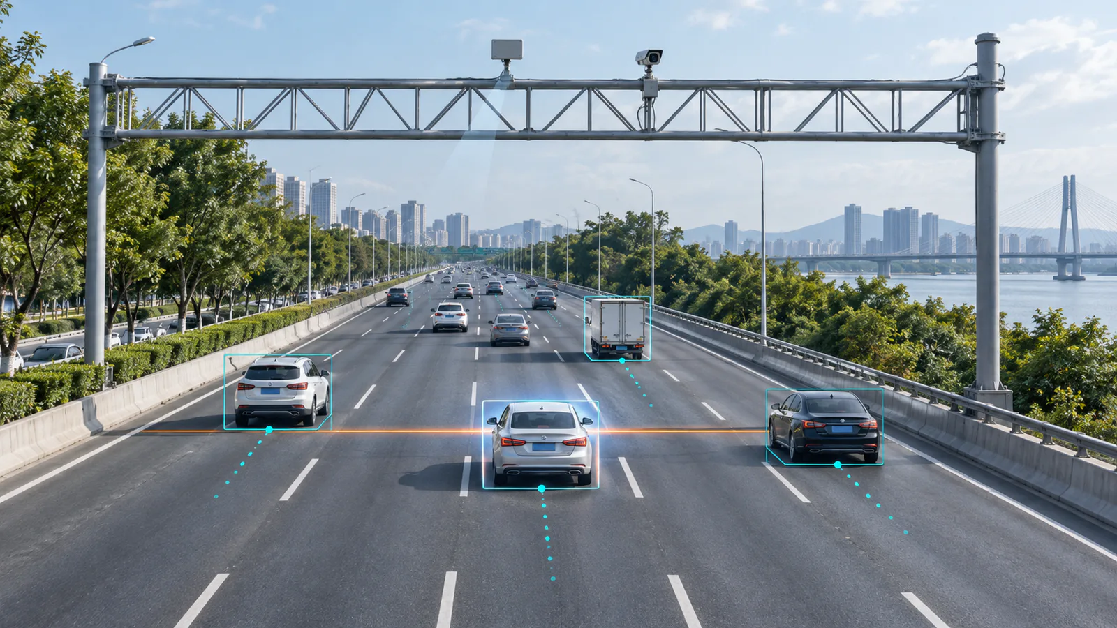
Track vehicles across multiple lanes, associate speed and position with a persistent target ID, and generate measurement-line events for controller and camera integration.
SOLUTION ROLE
On a busy multi-lane road, a momentary trigger alone may not be enough to match the correct vehicle. Traffic radar tracks each vehicle through the monitored area and supplies target ID, speed, position, direction and event information to the control system, giving the camera a defined subject and capture moment.
This page describes radar-data integration. Suitability for legal enforcement and evidential use depends on local regulations, required certifications and the complete system configuration.
INTEGRATION WORKFLOW
Keep the radar track, measurement event and captured image associated with the same vehicle.
Continuously output target ID, speed, coordinates and travel direction.
Create a target-specific event when the vehicle reaches the configured measurement line.
The controller coordinates image capture using the target position and event timing.
The downstream system matches radar target data, event information and images.
KEY DATA
Exact fields, interface details and timing are defined by the product protocol and project integration document.
TYPICAL DEPLOYMENTS
Configuration should follow the lane geometry, mounting position, camera field of view and project rules.
Track vehicles travelling in one or both directions and deliver vehicle-level speed and position data.
Follow vehicles approaching a defined measurement area from a roadside or overhead position.
Supply front-end target data for controlled-speed zones and other safety applications.
RECOMMENDED TRAFFIC RADAR
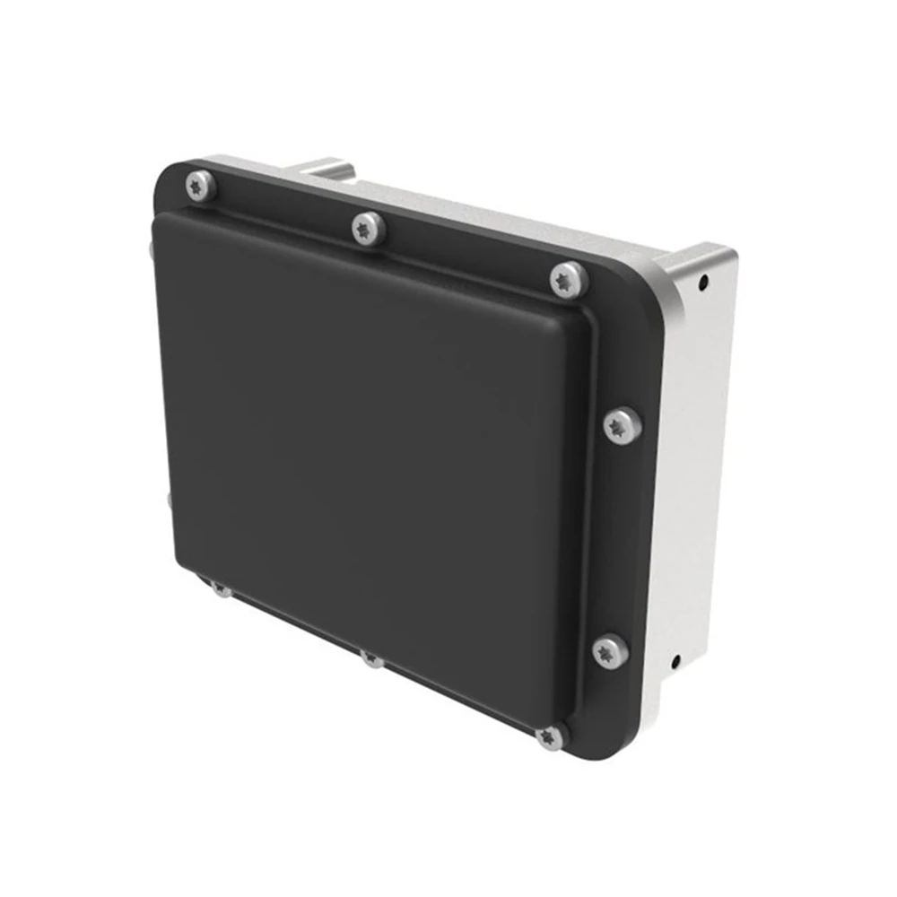
HC-M150 continuously detects and tracks vehicles and supplies target speed, coordinates, trajectories and measurement-line events to a controller through RS485.
View HC-M150 →BEFORE DEPLOYMENT
These inputs affect radar position, measurement-line configuration and target-to-image matching.
Provide road width, lane lines, curvature, controlled direction and expected vehicle paths.
Confirm roadside or gantry mounting, installation height, camera quantity and capture zone.
Define controller interfaces, required data fields, event logic and platform association.
Contact us for detailed communication protocols and integration documentation.
PROJECT ENQUIRY
Provide the lane layout, mounting position, camera configuration, controller interface and intended workflow. We will help evaluate the radar integration.