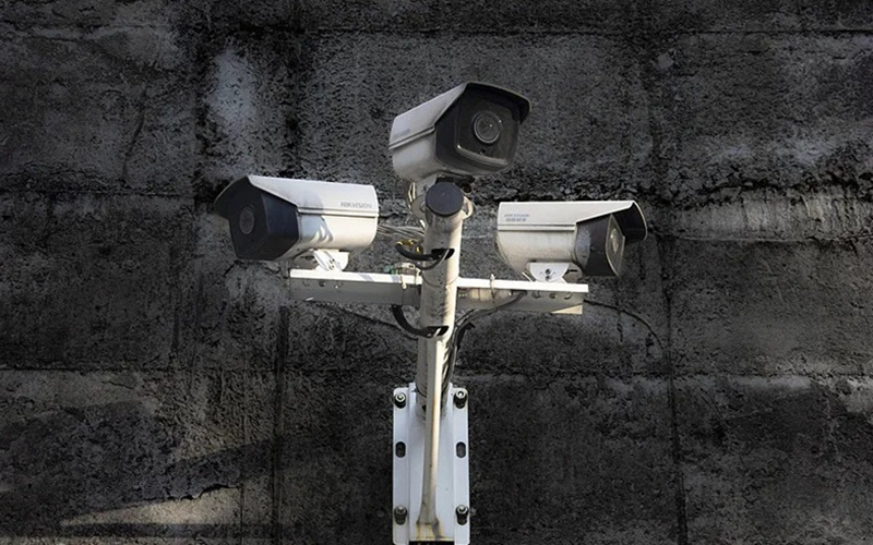
Perimeter Surveillance Radar: Wide-Area, All-Weather Security You Can Rely On

Perimeter surveillance radar (also known as perimeter security radar or ground-based surveillance radar) delivers continuous, wide-area intrusion detection across open land, fence lines, coastlines, and critical infrastructure. Unlike cameras or buried sensors, radar detects moving targets in rain, fog, dust, glare, and darkness—giving security teams reliable coverage with fewer devices and fewer false alarms.
What Is Perimeter Surveillance Radar?
Perimeter surveillance radar is a solid-state sensor that monitors large outdoor areas, tracking people, vehicles, and often drones by measuring their range, angle, and speed. It provides real-time target coordinates to VMS/PSIM platforms and can auto-cue PTZ cameras for visual verification and evidence.
How It Works
- FMCW/MIMO radar transmits low-power radio waves and measures the return signal to locate and track moving objects.
- Doppler processing separates true motion from environmental clutter, enabling low false alarm rates.
- AI/ML classifiers and micro-Doppler features help distinguish humans from animals or vehicles.
- 2D or 3D radars offer 90°–360° coverage; multiple units can be networked for seamless site-wide protection.
Key Benefits
- Wide-area detection: cover tens to hundreds of acres with fewer sensors than cameras or fence lines.
- All-weather, day/night performance: unaffected by rain, fog, dust, or backlighting.
- Low false alarms: Doppler, clutter maps, and classification reduce nuisance events.
- Precise tracking: real-time x/y (and often z) coordinates, heading, and speed for each target.
- PTZ camera cueing: automatic handoff to video for instant verification.
- Easy integration: SDKs, REST APIs, TCP/UDP, and popular VMS/PSIM connectors.
- Cost efficiency: fewer poles, less trenching, and lower maintenance than buried sensors.
Typical Performance Snapshot
- Bands: 24 GHz, 60 GHz, 77–81 GHz (region dependent)
- Coverage: 90° to 360° azimuth; 10°–30° elevation (3D radars support vertical coverage)
- Detection ranges (typical, line-of-sight):
- Human: 300 m to 1.5 km
- Vehicle: 1.5 km to 8 km
- Small UAV: up to 1–3 km (model-dependent)
- Accuracy: ±0.5–3 m range; ±1–5° bearing; update rates 1–10+ Hz
- Targets tracked: 50–1,000 simultaneous (by model)
- Environmental: IP66/67, -30°C to +65°C, MIL-STD-810 shock/vibration (model-dependent)
- Power: PoE/PoE+ or 24 VDC; typical draw 8–30 W
Actual performance depends on terrain, installation height/tilt, clutter, and target RCS.
Where Perimeter Radar Excels
- Airports, seaports, and logistics hubs
- Utilities and critical infrastructure (power, water, telecom)
- Oil, gas, and chemical facilities
- Border and coastal security
- Data centers and high-value manufacturing
- Solar and wind farms
- Correctional facilities and government sites
- Large estates, campuses, and stadiums
Choosing the Right Perimeter Surveillance Radar
- Coverage geometry: 360° for open fields; sector radars for corridors and fence lines.
- Range vs. resolution: longer range often trades off fine discrimination—match to your threat profile.
- 2D vs. 3D: 3D radars add elevation (useful near slopes, rooftops, or drone detection).
- False alarm performance: look for adaptive clutter maps, micro-Doppler, and AI classification.
- Integration: confirm native connectors for Milestone, Genetec, NX Witness, Qognify, and PSIMs.
- PTZ workflows: support for auto-cueing, handoff, and multi-camera rules (Pelco D, ONVIF, SDK).
- Cybersecurity: TLS, signed firmware, role-based access, audit logs.
- Compliance: FCC/CE/RED, EN 300 440, IEC/EN 62368-1, IP66/67, and regional spectrum approvals.
- Total cost: include poles, networking, mounting, calibration, and VMS licenses—not just the sensor.
Deployment Best Practices
- Site survey: model line-of-sight, terrain, vegetation, and reflective clutter; validate with a walk test.
- Mounting: 1–6 m height minimizes ground clutter; avoid metal obstructions near the beam.
- Tilt and masking: slightly tilt down for long, flat sites; use exclusion zones for roads and benign areas.
- Zoning and rules: create logical zones (approach, warning, alarm) with graded responses.
- PTZ pairing: ensure overlap so cameras can verify within 2–5 seconds of detection.
- Network design: VLANs, PoE budgeting, and edge compute placement; log to SIEM.
- Commissioning: calibrate georeferencing (WGS84/UTM), verify ranges, and tune thresholds seasonally.
- Maintenance: periodic firmware updates, re-learning clutter after major environmental changes.
Frequently Asked Questions
- Will radar replace cameras?
No. Radar detects and tracks; cameras verify and record. Together they deliver fast, low-friction response. - How many radars do I need?
It depends on range, terrain, and coverage angle. We’ll model your site and propose the minimum sensor count for full coverage. - Can radar detect drones?
Many models detect small UAVs within specified ranges. For anti-drone missions, we pair radar with RF and EO/IR sensors. - What about animals or wind-blown objects?
Doppler and classification reduce nuisance alarms. Proper zoning and masking further minimize false alerts. - Is radar safe?
Yes. Solid-state perimeter radars operate at very low power, meeting regional RF exposure and emissions standards.
