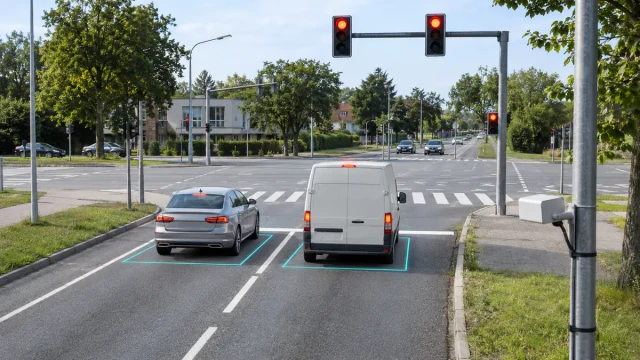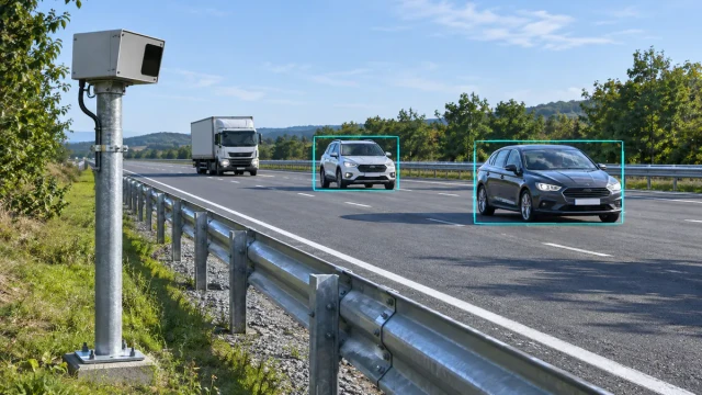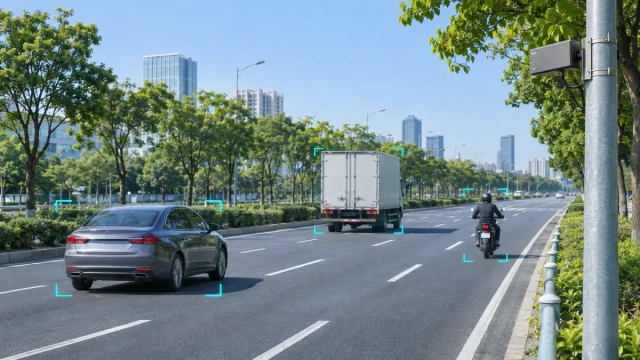
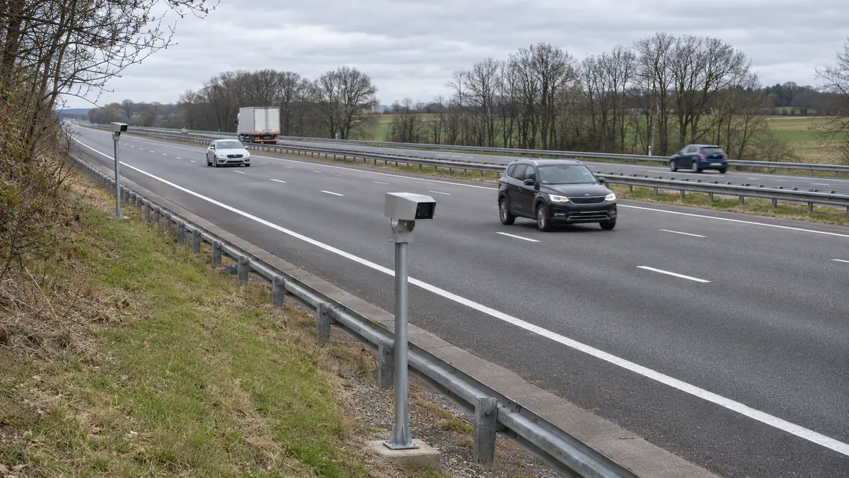
When two roadside radars cover the same stretch of road, one car can appear under two track IDs and generate two passage records. The quickest way to fix duplicate counts is to give each physical counting line one reporting owner per lane and direction. If the application needs a continuous trajectory across both radar views, match the two local tracks in the overlap and keep one corridor-level ID through the handoff. Decide which output the application actually needs before changing the system.
1. Decide whether to share counts or vehicle tracks
| Required output | What to implement |
|---|---|
| Count at a physical line | Pick one radar as owner for each lane and direction at that line. Use the second feed for verification or explicit failover. Keep both raw feeds available for troubleshooting. |
| Counts at two different locations | Keep the location and interval on each record. A vehicle passing both lines legitimately contributes to both station totals. Define a specific entry line or a deduplicated passage metric if the dashboard needs a single corridor count. |
| One trajectory across two radar views | Associate tracks in the overlap, then carry one corridor ID through the handoff. Retain the local sensor IDs as sources. |
Interval aggregates alone cannot tell you which vehicles two radars counted in common. To deduplicate in the overlap, use vehicle-level tracks or passages with enough context to match them. Where line ownership is sufficient, choose the owner with the more reliable view of that lane at the line. If ownership can switch, define the cutover and test it under live traffic so that buffered events are not replayed into a second count and vehicles crossing during the switch are accounted for.
2. Align both radars to the same road and time
Map both sensors into a common road coordinate frame using several known points spread across the overlap. On a bend, express position as distance along the road and lateral offset from a consistent reference. Check the origin, axis signs, heading, units and lane mapping with an isolated vehicle in each direction. Verify the position residuals near both ends of the overlap. A consistent offset across passes points to alignment or vehicle reference-point differences worth investigating before tuning the match.
Compare observations at the same time. Document what each device timestamp represents and estimate clock offset and drift before applying short interpolation or prediction between samples. If the interface provides only arrival times, characterize the delay variation and treat the result as uncertain. At 81 km/h, a 160 ms difference between observations corresponds to 3.6 m of travel. A nearest-position rule can pick a different car in that gap. Published field research on partially overlapping roadside radars illustrates the roles of road coordinates, short-term prediction and trajectory association.
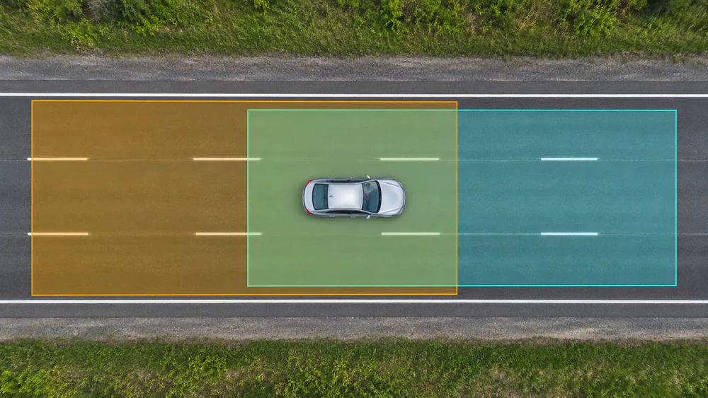
A vehicle in the shared coverage area can appear in both radar feeds.
3. Match local tracks before merging them
Store each report with its radar ID, local track ID, timestamp, position and motion. Account for ID reuse and device restarts when identifying an active track. For example, A:17 and B:42 can describe the same car. A:17 and B:17 can describe two different cars. Let the host assign a corridor ID when there is enough evidence to link the two tracks.
Compare candidates that are plausible in direction, along-road position, lateral offset and velocity after aligning their timestamps. Check lane changes using the observed lateral motion. A rigid same-lane rule can split a genuine track near a lane boundary, while a wide position allowance can merge two vehicles in adjacent lanes. Compare several aligned updates and enforce one-to-one assignment at each association step. Leave ambiguous pairs unresolved until later updates distinguish them. For statistical passage events, test how unresolved cases affect counts as well as track continuity.
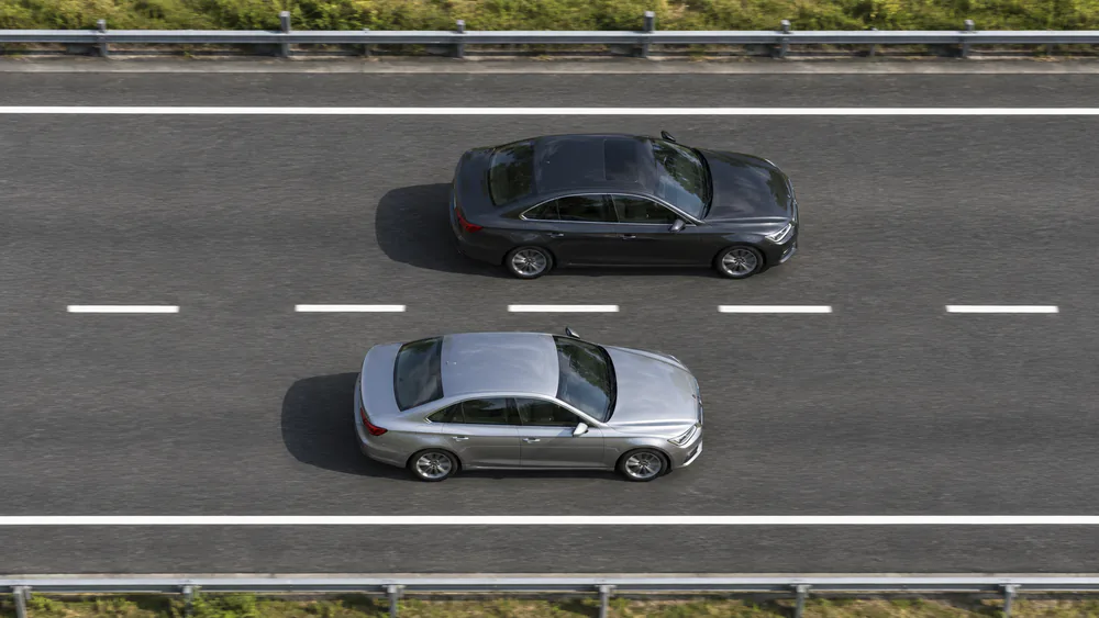
Two vehicles can be at nearly the same point along the road. Lateral position and track history help keep their records separate.
For example, Radar A reports a car at road station 100.0 m moving at 22.5 m/s. Radar B reports a candidate at 103.6 m 160 ms later. Projecting A forward puts it at 103.6 m, so the along-road positions agree. If a second B track is at 103.5 m in the adjacent lane, both tracks agree in along-road position. Check lateral position and the track history before assigning either candidate. Use residuals from verified matches to set your tolerances, then test them against close pairs and lane changes. See the traffic radar vehicle separation guide for cases where the individual sensor itself may lose separation.
4. Keep the corridor ID through the handoff
Once the overlap provides a confirmed association, the downstream radar can continue the same corridor track when the upstream view degrades or ends. Keep both sources on the record so a jump, gap or unexpected split can be traced back to the original observations. For a straightforward handoff, use the trusted source in each part of the road. If you blend both reported positions to produce one state, validate the transition under lane changes and check for position or velocity jumps. The downstream feed should take over before the upstream track ages out where coverage allows.
Size the overlap using effective track coverage, including the time each sensor takes to deliver a stable track. For example, 35 m of reliable overlap at 90 km/h allows about 1.4 s for both sensors to observe a vehicle before accounting for track acquisition, occlusion or delayed reports. Repeat the check in the weakest lane with trucks, close headways and the intended speed range. Flag a coverage gap or uncertain handoff in the data when the available evidence cannot support a continuous ID.
5. Find the cause of duplicate counts and missing handoffs
| What the logs show | What to check first |
|---|---|
| One car, two passages at the same physical line | Check whether both sensors publish the event to the same counter. Confirm line ownership and check for duplicate delivery or replay in the controller. |
| Track splits every time a car enters the second view | Plot both local tracks in road coordinates. Check the clock offset, the downstream first valid report and whether there was enough shared track history to confirm the association. |
| Two cars become one track only during side-by-side passes | Check lateral calibration, candidate ambiguity and one-to-one assignment. Compare the source tracks to see whether either radar already merged the targets before fusion. |
| Only fast traffic misses the handoff | Measure time spent in reliable overlap and downstream track acquisition time at the observed speeds. Check that timing or the confirmation rule leaves enough shared observations. |
If an extra track already appears in a single sensor feed before the host combines reports, start with that source feed and compare it with the reference video. Duplicate reports from two sensors can occur even when both are tracking correctly.
6. Validate the overlap vehicle by vehicle
Record both radar feeds, host associations and final passage events against timestamped reference video. Start with isolated runs to verify geometry, then include adjacent-lane pairs, short headways, trucks obscuring smaller vehicles, lane changes and any failover mode. For each reference vehicle, look up both local tracks and the corridor ID or passage record. Count duplicate passages, missed passages, split tracks, incorrect merges and ID swaps separately. Report the relevant denominators, such as reference passages at the line and vehicles expected to hand off. One duplicate and one miss can cancel in an aggregate total. The lane-by-lane counting accuracy guide explains how to review individual passages against video.
In a traffic flow monitoring system, the HC-M150 multi-lane traffic radar supplies target IDs, coordinates and speed to the host over RS485. With two units, line ownership, association and the shared vehicle ID are host-side integration tasks. See the HC-M150 RS485 integration guide for the difference between target updates, line states and interval statistics.